What Is It?
About
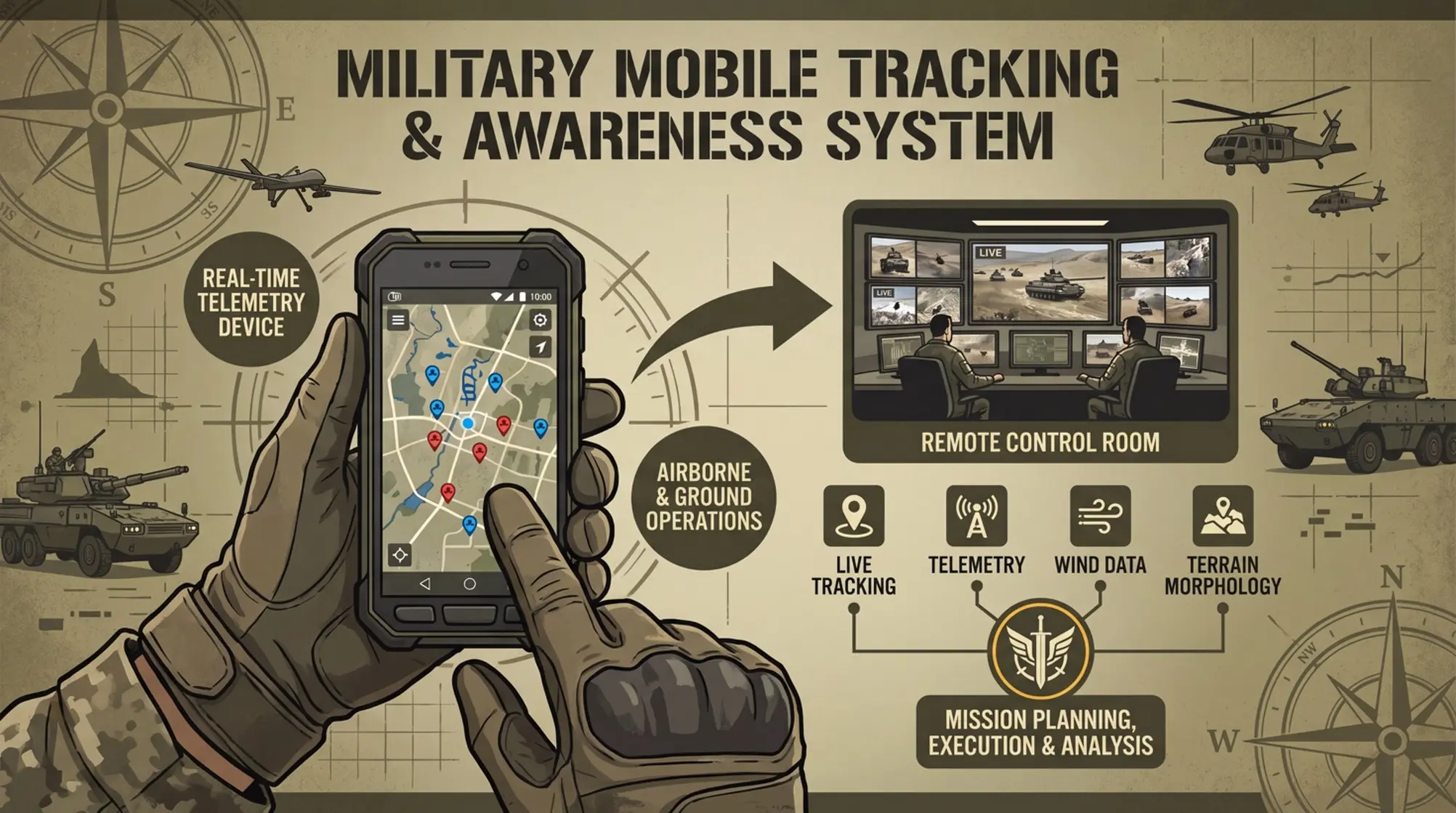
A real-time personnel tracking and operational awareness system designed for airborne and ground operations.
The mobile application turns each operator's smartphone into a real-time telemetry device, transmitting their position and mission data in real time.
From a remote Control Room, commanders and mission controllers can monitor multiple operators simultaneously, both airborne and on the ground, regardless of their geographical location.
The system combines live personnel tracking, telemetry, wind data and terrain morphology to support mission planning, execution and post-mission analysis.
Operator
A phone becomes a live telemetry device, transmitting position and mission data in real time.
Control Room
Commanders monitor multiple operators simultaneously, airborne and ground, from anywhere.
Combined Picture
Telemetry, wind data and terrain morphology together support planning, execution and post-mission analysis.
What Problem Does It Solve?
Off-track. Dispersed. Isolated.
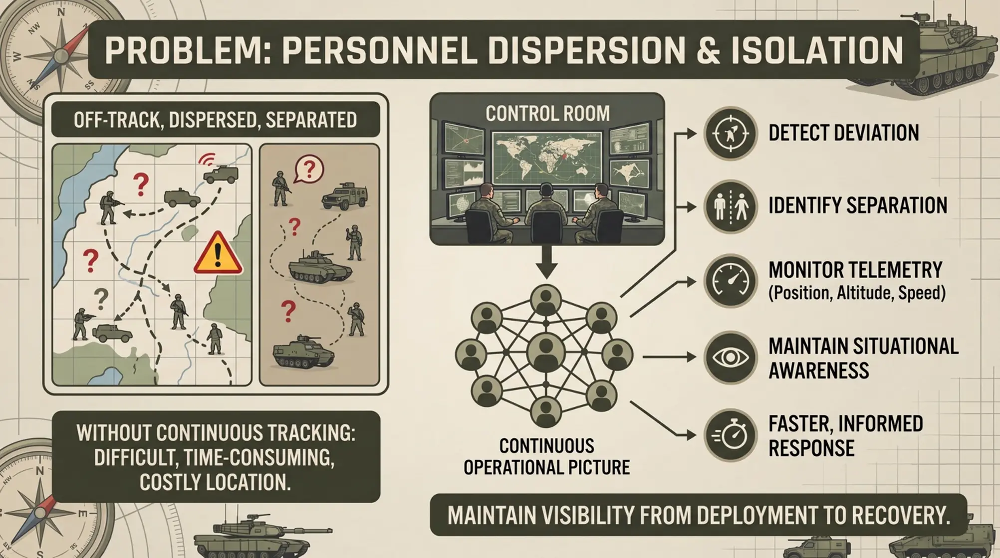
During airborne and ground operations, personnel can quickly become off-track, dispersed or separated from the planned landing or operational area.
Without continuous tracking, identifying the location of an isolated operator can become difficult, time-consuming and costly, particularly when multiple personnel are deployed simultaneously.
The system provides the Control Room with a continuous operational picture of every connected operator, allowing controllers to:
- Detect personnel deviating from the planned track
- Identify operators who become separated from the main force
- Monitor position, altitude, speed and other telemetry in real time
- Maintain situational awareness throughout the operation
- Support a faster and more informed response when an operator becomes off-track or isolated
How Does It Work?
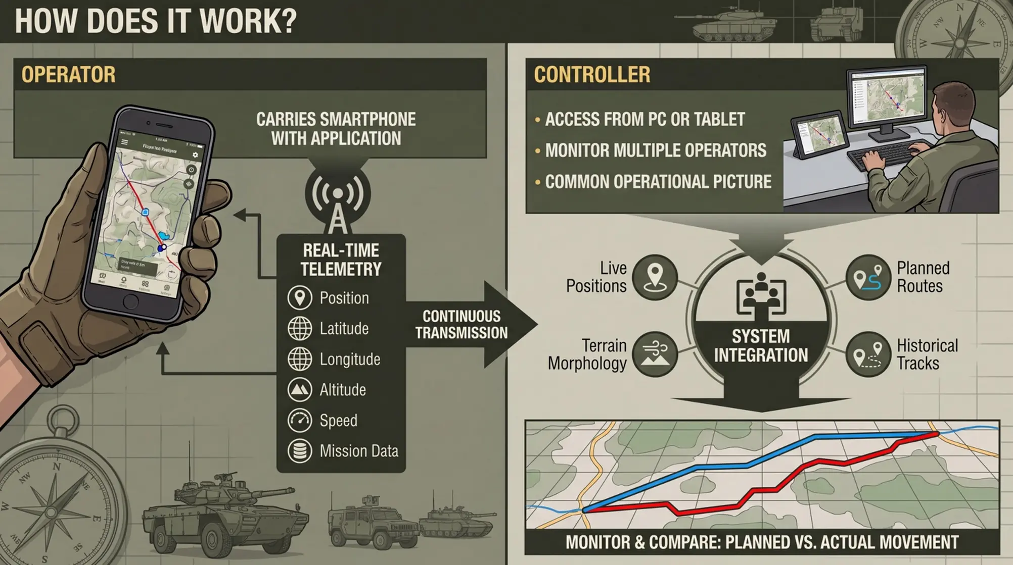
Two roles, one continuous operational picture.
Operator
Each operator carries a smartphone running the application.
The device continuously transmits real-time telemetry, including:
- Position
- Latitude
- Longitude
- Altitude
- Speed
...and other mission data
Telemetry is refreshed in real time and transmitted to the operational Control Room.
Controller
The controller accesses the system from a PC or tablet, from virtually anywhere in the world.
Multiple operators can be monitored simultaneously on a common operational picture, with their movements displayed in real time.
The system can integrate:
- Live personnel positions
- Planned routes and operational areas
- Wind profiles
- Terrain morphology
- Historical tracks
This allows the controller to monitor the mission as it develops and compare planned vs. actual movement in real time.
What Does It Deliver?
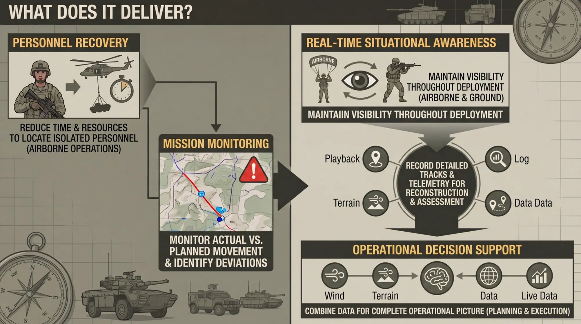
The system provides a continuous operational picture — before, during and after the mission.
Personnel Recovery
Reduce the time and resources required to locate personnel who become isolated, dispersed or off-track during airborne operations.
Real-Time Situational Awareness
Maintain continuous visibility of deployed personnel throughout both airborne and ground phases of the operation.
Mission Monitoring
Monitor actual personnel movement against the planned mission profile and identify deviations as they occur.
Post-Mission Analysis
Record detailed movement tracks and telemetry for reconstruction, assessment and analysis of mission execution.
Operational Decision Support
Combine live personnel telemetry with wind and terrain data for a more complete operational picture.
"From deployment to recovery, the Control Room maintains visibility of the force."